Table of Contents
raster2pgsql -I -C -s <SRID> <PATH/TO/RASTER FILE> <SCHEMA>.<DBTABLE> | psql -d <DATABASE>
The command parameters are:
<SRID>—Spatial reference identifier<PATH/TO/RASTER FILE>—Full path to the raster file (such asC:\MyData\land\landuse.tif)<SCHEMA>—Target schema where the new raster table will be created<DBTABLE>—New database table to be created (usually the same name as the source raster file)<DATABASE>—Target database where the table will be created
The following example uses raster2pgsql to create an input file and upload it into 100x100 tiles. The -I option will create a spatial GiST index on the raster column after the table is created. This is strongly recommended for improved performance. The -C option will apply the raster constraints (SRID, pixel size and so on) to ensure the new raster table is correctly registered in the raster_columns view.
raster2pgsql -s 4236 -I -C -M *.tif -F -t 100x100 public.demelevation | psql -d gisdb
Mình đã thử và Ok
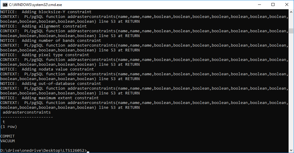
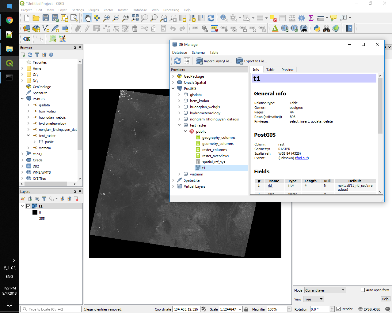
raster2pgsql.exe -s srid -I -C -M image -F -t size schema.table | psql -d database -U Username -p Port raster2pgsql.exe -s 4326 -I -C -M t1.tif -F -t 250x250 public.t1 | psql -d test_raster -U postgres -p 5433
-soiqualang_chentreu-]]>
0 thoughts on “Import Raster to PostgreSQL/PostGIS and View in QGIS”